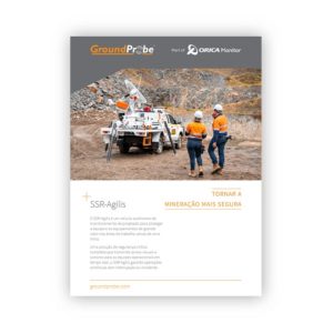
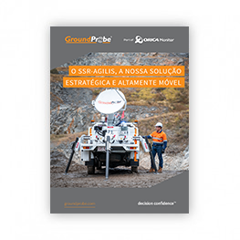
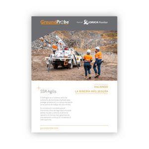
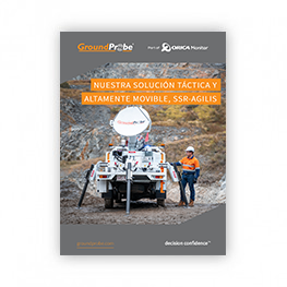
SSR-Agilis
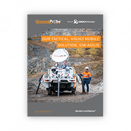
TACTICAL, HIGHLY-MOBILE SOLUTION
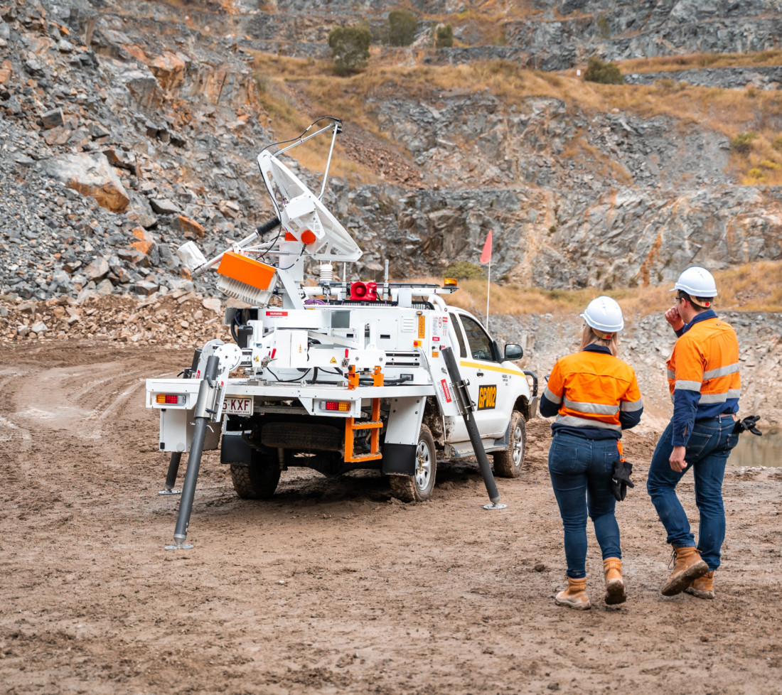
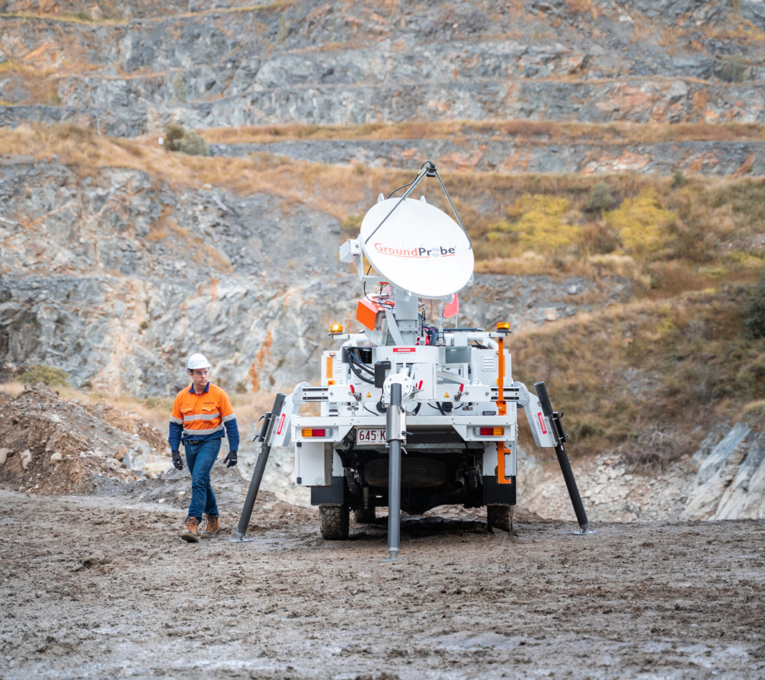
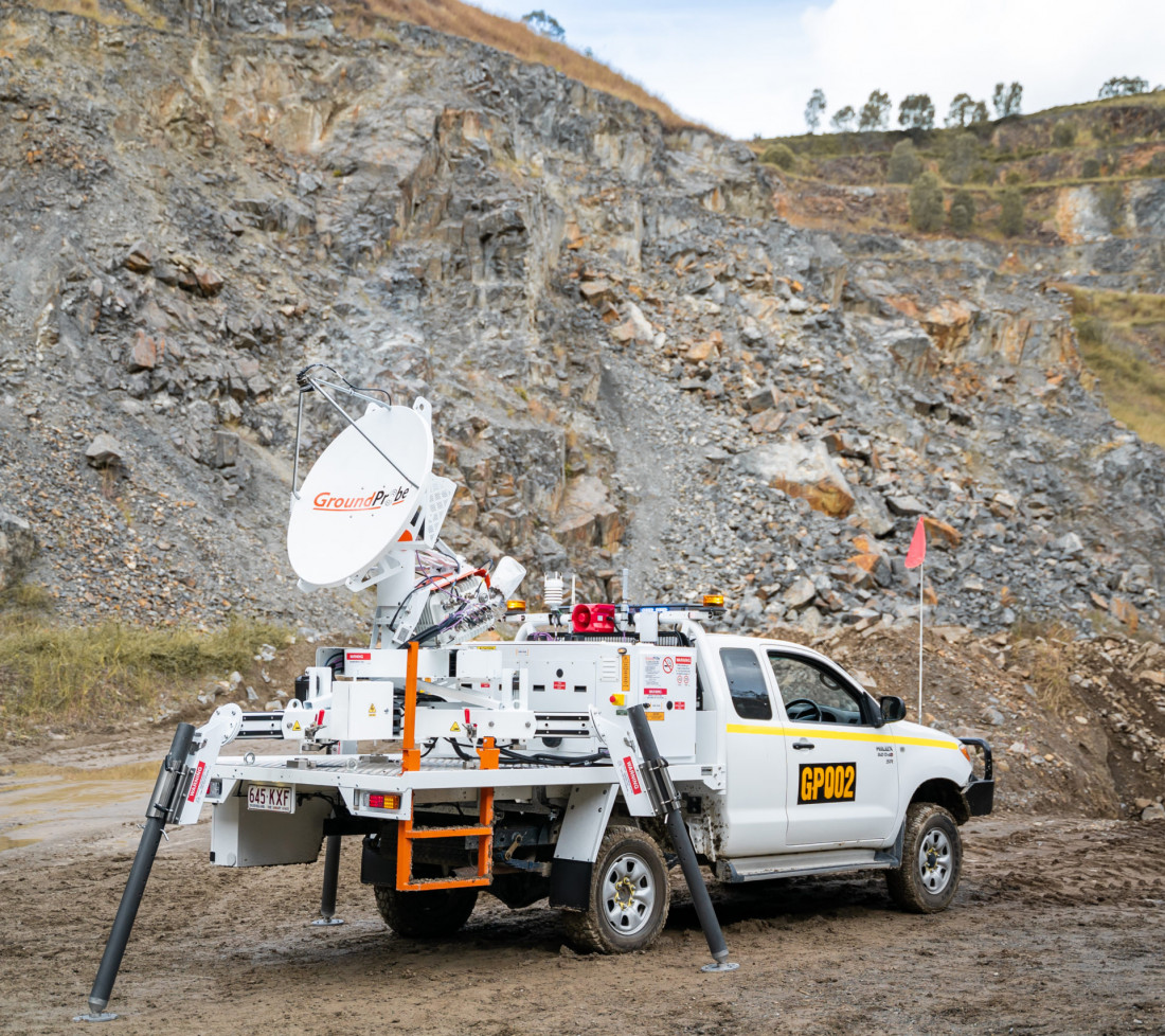
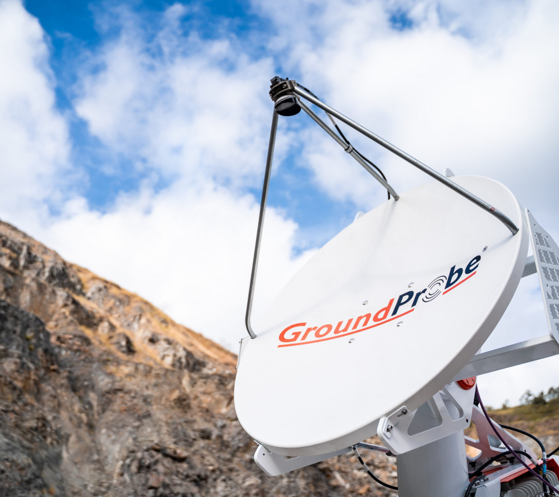
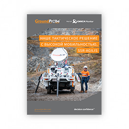
The SSR-Agilis is a standalone vehicle monitoring system designed to protect personnel and valuable equipment in active working areas of a mine site.
A complete safety-critical solution that transmits visual and audible warnings to operational crews in real time, the SSR-Agilis ensures continued operations without interruption or incident.
A rapid response radar, the system features a range of local, remote and personal alerts, allowing for evacuation in the shortest possible time.
Various alerts are dispatched via multiple channels – personal warnings via Portable Personal Alert (PAL) devices; visual alerts through the custom-designed lightbar, with three colour configurations; audible siren alerts heard up to 1,500m away; and the visualisation of triggered events in SSR-Viewer, via both the on-board user interface and remote Geotech computers.
The SSR-Agilis is an independent, standalone system that requires no Wi-Fi, site communications or mine power to conduct safety-critical monitoring. The system is equipped with an on-board power supply that can be easily recharged overnight, providing up to 24 hours of power. For ultimate flexibility, the system can also be connected to the mine network using its built-in comms.
The system’s fully customisable scan area operates to 270° in azimuth and 100° in elevation. Its large scan area, together with an extensive range of 1,400m, gives users the capacity to scan areas of concern from various deployment locations of convenience.
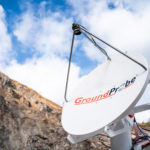
A 3D Real Aperture Radar, its fine pencil beam scans in a raster pattern to provide full 3D imaging to completely cover the scan area. Because each spot points directly to a physical spot on the wall, the confidence in precisely tracking and measuring movement is at its highest.
Built on GroundProbe’s latest SSR platform, the SSR-Agilis is backed by a long history of reliability, uptime and proven mechanical engineering. It’s built tough, reliably operating in inhospitable environments including intense sun, rain, wind, snow and humidity.
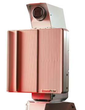
The SSR-Agilis includes a high resolution, integrated imaging system for real-time photographs that are coregistered with the radar data; a technique unique to and patented by GroundProbe.
When the data is visualised, the deformation heatmap is draped over the high-resolution image. By clicking on any part of the image, movement can be reviewed and assessed live, with confidence
The SSR-Agilis is an interferometric-based radar technology and does not lose measurement accuracy as range increases. Deploy the radar 30m or 1,400m from the area of interest, and its sub-millimetre deformation measurement accuracy remains.
Product features and videos
| OPERATIONAL SPECIFICATIONS | ENVIRONMENTAL | |
|---|---|---|
| Error Increase Over Range:
|
Communications: Integrated wireless link or connect to mine network |
Altitude: 0 to 5,000m |
|
End-to-End Scan Time*: 85° x 20° (2.5 minutes)
|
Power Options: Battery Box with AC |
Humidity: 5% to 95% |
|
Range: 30 – 1,400m |
Deployment Option: Vehicle |
Rainfall: 0 to 100mm/hr |
|
Pixel Size at 500 Metres: 8.7m x 8.7m |
Deformation Measurement Accuracy: 0.1 mm or submillimetre |
Temperature: Standard kit: -20°C to +55°C |
|
Operational Wind Speed: 90km/hr Survival Wind Speed: 160km/hr |
Downloads and Resources
Related Products
MonitorIQ® Enterprise Geotechnical Software
Designed and developed by geotechnical engineers for geotechnical engineers, MonitorIQ® ...
More


