MonitorIQ® Enterprise Geotechnical Software
Designed and developed by geotechnical engineers for geotechnical engineers, MonitorIQ® Enterprise is the evolution of our MonitorIQ® data aggregation platform.
MonitorIQ® Enterprise is GroundProbe’s premier data aggregation and analysis software for geotechnical monitoring, enabling users to gather and visualise all information from on-site sensors for instant analysis.
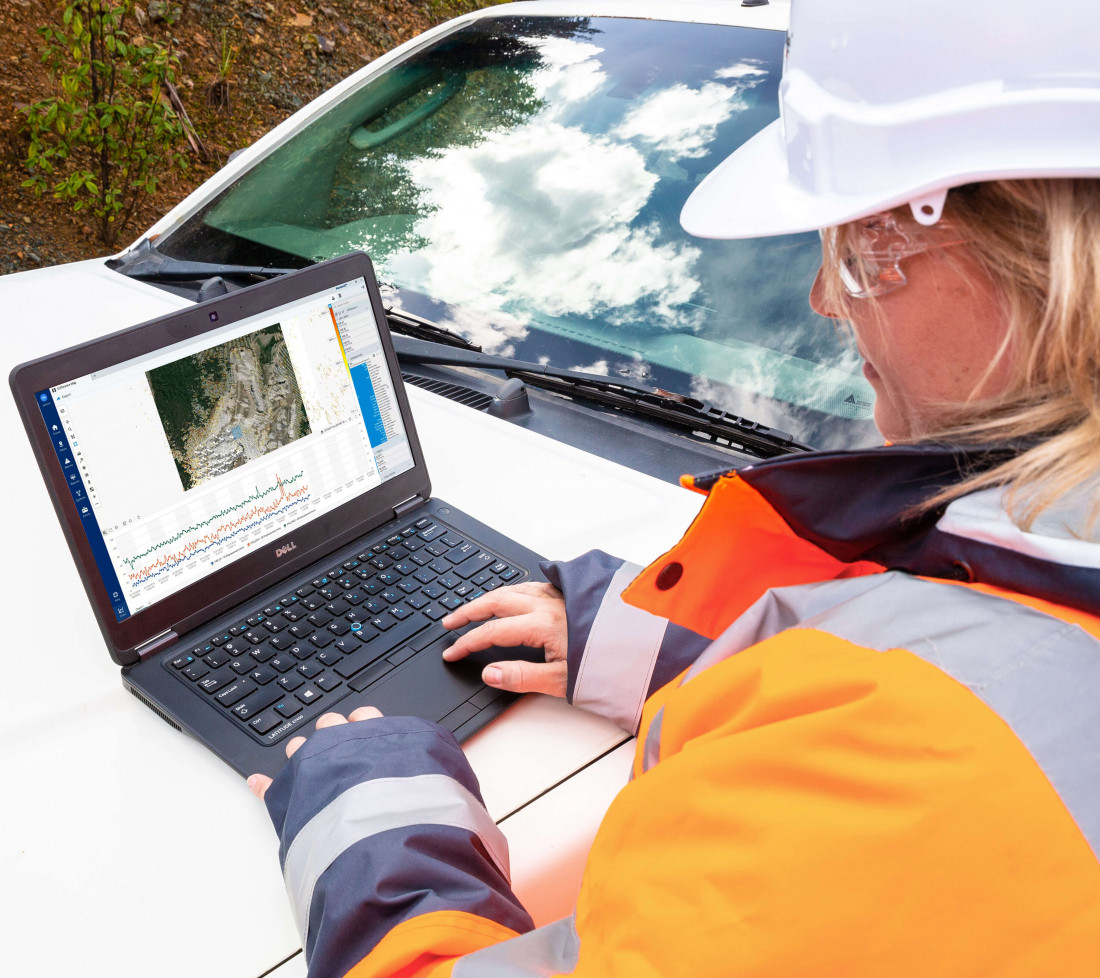
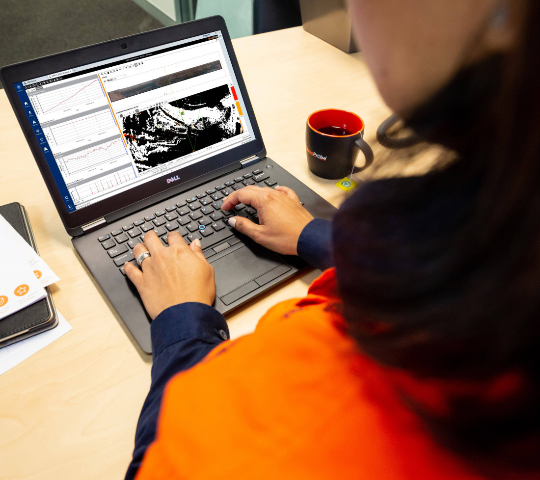
Through the centralisation of all monitoring data into one dashboard, users are presented with intuitive side-by-side analysis and charting, for effective identification of trends and decision-making in real-time.
MonitorIQ® Enterprise also includes MonitorIQ® Desktop built-in, making it the industry’s most sophisticated and feature-rich platform for geotechnical data analysis.
Key Features:
With MonitorIQ® Desktop seamlessly integrated, MonitorIQ® Enterprise users have access to its entire suite of safety-critical charting and alarming tools, as well as GroundProbe’s three patented visualisations: Plan View, Front View, and DTM View.
Users can find ease in conducting enhanced data analysis for all GroundProbe systems without the need to switch between platforms.
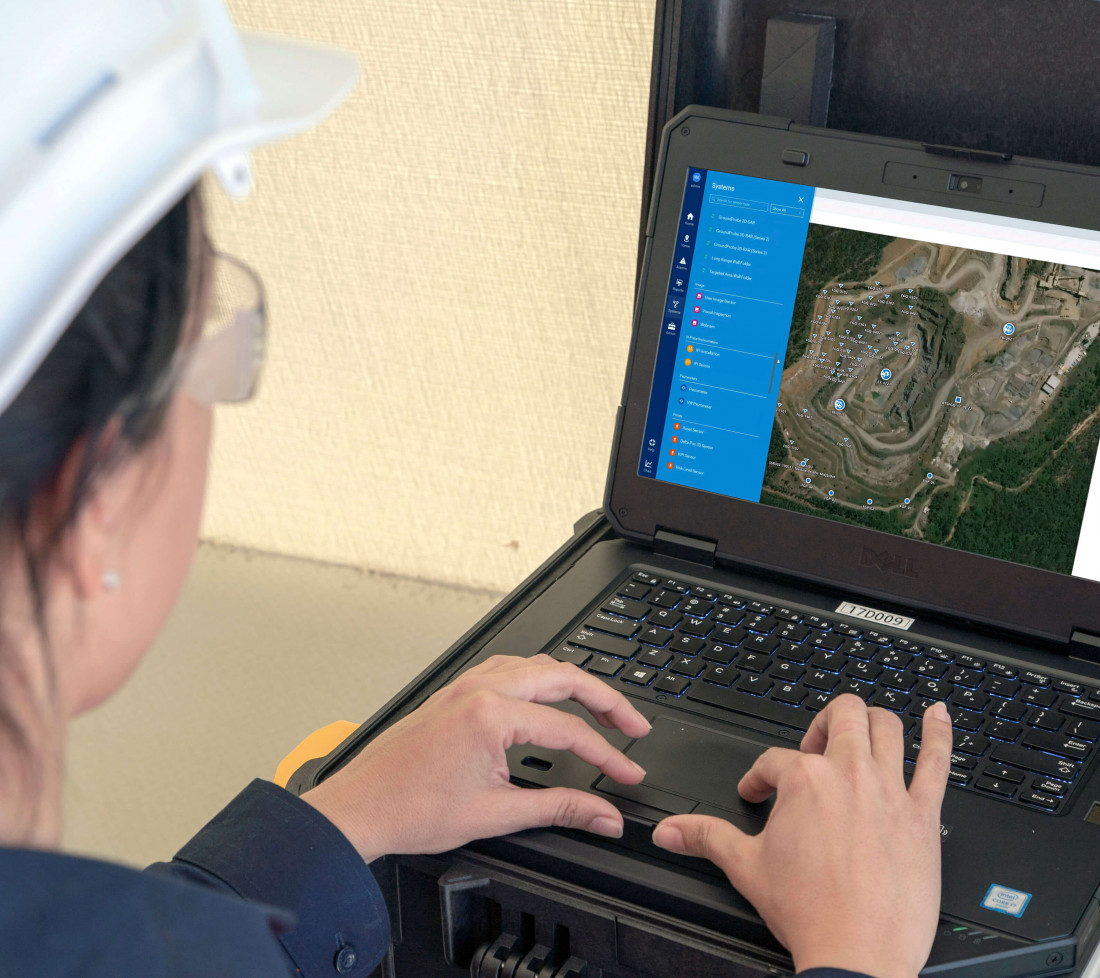
MonitorIQ® Enterprise allows users to import, view and compare data from an exhaustive range of geotechnical and environmental monitoring sensors deployed across an entire mine site.
Regardless of the technology used to capture it, users can interact with all information in the same way, on one screen.
All of MonitorIQ® Desktop’s safety-critical features and tools have been absorbed into MonitorIQ® Enterprise, without exception, including every feature ever roll-up from every SSR-Viewer® version ever.
MonitorIQ® Enterprise is the only data aggregation and analysis platform with complete safety-critical features and tools built-in, including reporting, analysis, charting, and visualisation.
MonitorIQ® Enterprise uses advanced technology to standardise data collected into the same format – including units, charts, colour heatmaps and times – for increased ease when analysing data and identifying trends.
With the ability to generate automated reports, the reporting process is further streamlined for users, accelerating decision-making, and improving safety.
MonitorIQ® Enterprise is vendor-independent, allowing users to import data from GPS, radar, laser, satellite InSAR, total stations, piezometers, and many more through software modules corresponding with different sensor types.
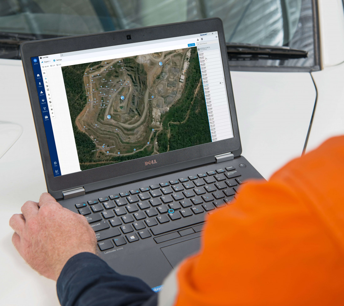
Unify and understand the status of all available sensors in an area with the Live Map, which integrates different types of sensor data and visualises it on an intuitive plan view image of the site.
Live Map is highly interactive; pan and zoom to points of interest, show, or hide an area, or click on a sensor marker to take further action.
It showcases the latest sensor data, and the visualization of data types is completely customisable.
Easily create beautifully presented, customised reports without leaving MonitorIQ® Enterprise.
Simply drag and drop maps, graphs, and images to instantly create customised reports and compare data from different sensor types.
Once saved, reports are automatically updated to a selectable date range with fully customisable reporting permissions, allowing all project users able to edit reports.
After a report template has been set up, it can be automatically run based on a defined time period, automating a task that could otherwise take hours.
Users can analyse and interact with data at any point along the time scale, regardless of sensor relocation or reset.
Through the ability to view historical and current data alongside each other within the dashboard, users can better understand the behavioural trends of the site over time.
MonitorIQ® Enterprise enables its users to set standardised alarm triggers across multiple sensor types, across multiple vendors, through the embedded MonitorIQ® Desktop.
This keeps its user informed on active alarms, created events, and triggered alarms, and assists its users by notifying which alarms need further investigation.
All alarms configured in MonitorIQ® Enterprise for GroundProbe systems (ie. SSR-XT, RGR-Velox, GMS) will also be active, visible and actionable within the Alarm Centre application.
Able to be run simultaneously by multiple users both on and off-site, changes are made in real-time and reflected for all users, optimising the collaboration and decision-making process.
Product features and videos
Downloads and Resources
Related Products
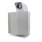
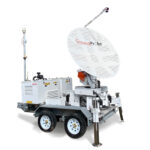
RGR-Velox
REACTIVE MONITORING AND ALARMING SOLUTION
The RGR-Velox (Reactive Geohazard Radar) is a ...
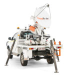
SSR-Agilis
TACTICAL, HIGHLY-MOBILE SOLUTION
The SSR-Agilis is a standalone vehicle monitoring ...
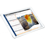
MonitorIQ® Desktop Geotechnical Software
MonitorIQ® Desktop is our dedicated geotechnical analysis platform and the standard ...
More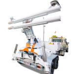
SSR-Omni
FULL-COVERAGE, HIGH-RESOLUTION SOLUTION
The SSR-Omni is a full-coverage, high-resolution ...
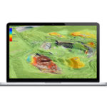
InSAR Service
The GroundProbe InSAR Service, in partnership with 3vGeomatics (3vG), is an effective tool...
More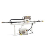
SSR-SARx
HIGH RESOLUTION, LONG-RANGE SOLUTION
Designed to identify long-range risks and hazards, ...
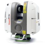
GML (Convergence Monitoring)
HIGH RESOLUTION, SUB-MILLIMETRE SOLUTION
The GML - together with its Convergence ...


