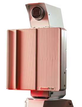
‘International Mining’ Article – Excerpt – GroundProbe Brings It All Together
 GroundProbe’s Chief Operating Officer, David Noon
David Noon, COO at Orica-owned GroundProbe, says improving global tailings dam monitoring practices continues to be a key pillar of its vision of maximum safety for the mining industry.
“In the last two years especially, a large number of mine sites have begun actively adopting best-practice monitoring solutions for tailings dams as a necessity, often incorporating GroundProbe systems. Globally, sites are beginning to accept that it is just as important to the overall safety of the mine that they monitor non-operational areas as well as areas of high production. In the last 24 months, GroundProbe has deployed custom monitoring solutions to tailings dams across Brazil, Peru, Canada, Mexico, Australia and multiple African countries. Each tailings dam is unique and so is the consequence of failure should the dam collapse. In most instances, several sensors are deployed to effectively manage the potential risk posed by a tailings dam collapse.”

If the solution incorporates multiple systems or sensors, Noon says it is integral that users have some way to bring all the data from the sensors together for analysis and identification of trends.
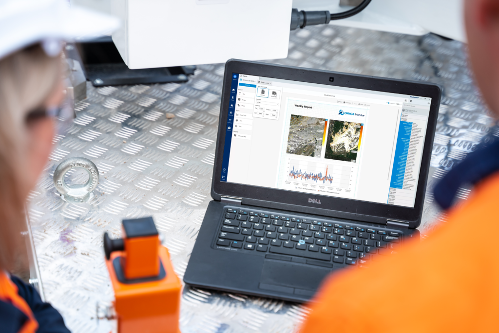
“This is why over the past year we have committed our product development capabilities towards developing our world-class data aggregation software, MonitorIQ. MonitorIQ is a single-dashboard aggregation that gathers data from all on-site mine sensors to provide a complete overview of a slope or tailings dam. Unlike other data aggregation software in the market, our patented geotechnical analysis software, SSR-Viewer, is completely built-in. With all sensor data consolidated and complete access to all SSR-Viewer safety-critical features, effective decision-making can be achieved, integral for tailings dams monitoring.”
Looking towards the future, GroundProbe expects to see further automation and incorporation of AI and machine learning to produce smarter, more intuitive slope monitoring systems, capable of running more independently and managing data better. GroundProbe also says it continues to develop new products and refine its existing hardware across both its radar and LiDAR technologies.
“In January this year, we released the SSR-Agilis (3D Real Aperture Radar); a standalone monitoring system designed to protect personnel and valuable equipment in active working areas of a mine site. The system is vehicle-mounted, capable of being driven to any area of concern and deployed in minutes for real-time targeted monitoring. The SSR-Agilis is safety-critical by design, equipped with a range of local, remote and personal alerts. Alerts are dispatched via multiple channels, including Personal Alert (PAL) devices; a flashing lightbar; audible siren with 1,500 m range; and the visualisation of triggered events in SSR-Viewer and MonitorIQ. These alerts allow for the fast and effective evacuation of a mine site in the event of an imminent collapse.”
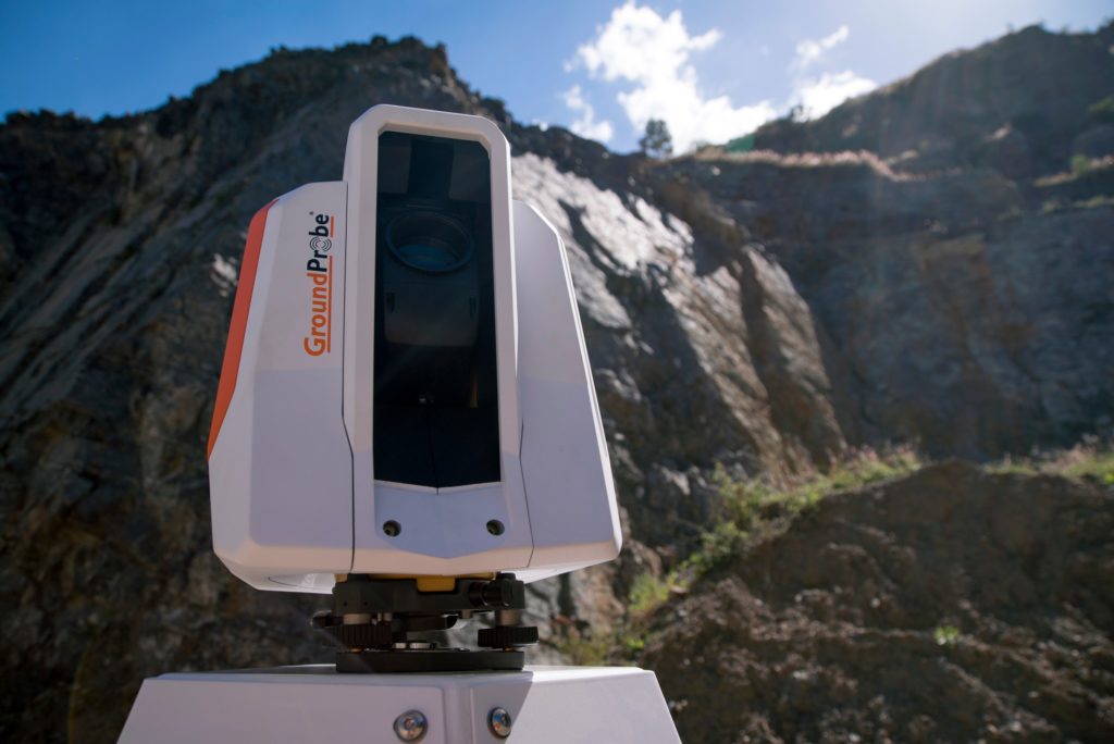
Noon adds that the GMS LiDAR technology, which is often used to monitor tailings dams or vegetated slopes, has undergone significant software developments, “ensuring its best-in-class status.”
Greater 3D visualisation functionality, enhanced algorithm optimisation and improved charting and analysis functionality have all enabled more in-depth data analysis. The company doesn’t believe that you can approach geotechnical monitoring with a one-size-fits-all solution as every mine site is different.
GroundProbe estimates that around 90% of strip coal mines utilise 3D-radars, like its SSR-XT and SSR-Agilis, to conduct slope stability monitoring. 3D-radars scan in a targeted area using a real aperture radar – monitoring each unique pixel in azimuth, elevation and range – making it ideal for the steep topology of a strip coal mine. 3D-radars are also less susceptible to interference from machinery operating close to the slope, crucial in safety-critical situations.
Alternatively, 2D-radars, like the SSR-FX and SSR-SARx systems, are commonly utilised at tailings dams.
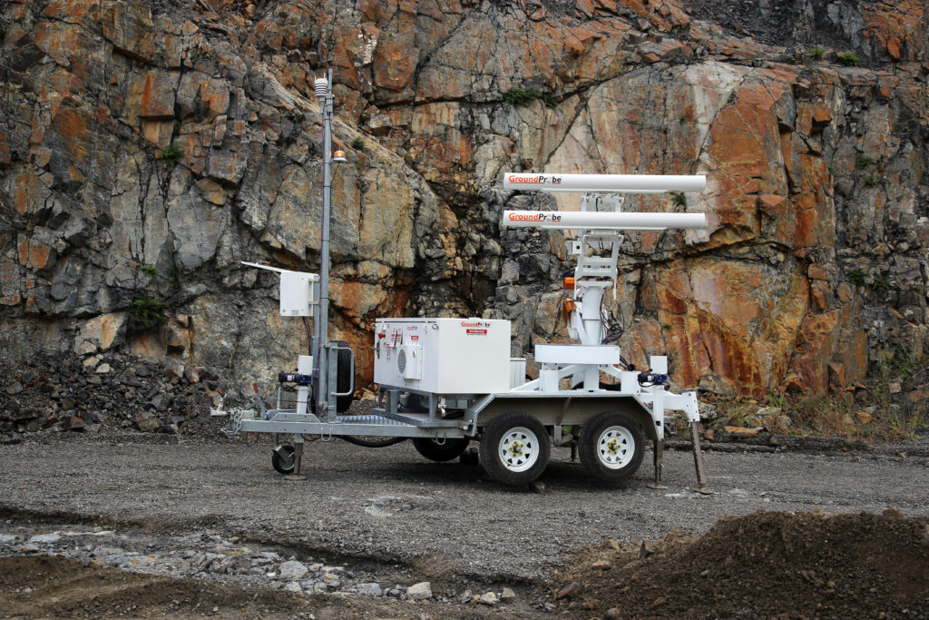
“Due to the more flattened face of a dam, and typically being a lower traffic area of a site, a fast-scanning 2D radar is a suitable solution for broad-area coverage of most tailings dams. LiDAR is also a common tailings dam solution for long term monitoring, with their ability to effectively measure prisms installed on slopes. GroundProbe’s aim is to tailor a monitoring solution to the customer’s specific needs rather than providing a blanket system that is only generally suitable for the desired purpose. Often the most effective solution is a complete, well-rounded approach to ensure the highest level of safety. This tailored solution includes hardware, software, after-sales support, and support from our Geotechnical Support Services unit.”
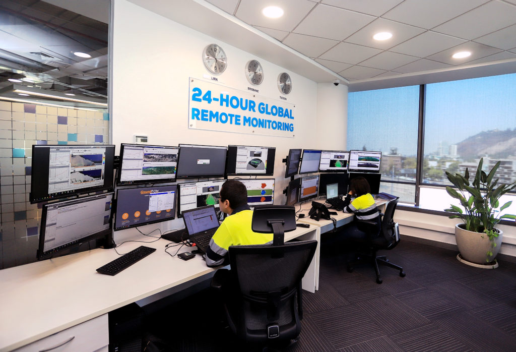
Finally, during the COVID-19 pandemic and associated lockdowns, several mining companies looked to GroundProbe to assist in providing safety-critical support during periods of restrictions on site, with the demand for its Geotechnical Support Services (GSS) dramatically increasing. Dedicated 24-hour remote monitoring of systems (GSS-Remote) and advanced report generation (GSS-Reporting) both saw high-demand over the past few months as onsite personnel were forced to work remotely.
“Any number of GroundProbe products across any global site can be monitored and reported on through our Geotechnical Support Services unit. Typically, we conduct 24/7 remote monitoring of systems from one or more of our remote monitoring centres located in Balikpapan, Indonesia; Santiago, Chile and Belo Horizonte, Brazil. The combination of these remote monitoring centres provides seamless support in English, Bahasa, Spanish and Portuguese languages. By allowing on-site Geotechnical Engineers to outsource the monitoring of their systems to our remote monitoring centres, all geotechnical hazards and trends are closely monitored 24 hours a day, 7 days a week, ensuring no movement goes undetected.”
TO READ THE FULL ARTICLE, CLICK HERE.


