GMS Software Update

Our GMS system is a best-in-class geotechnical tool but with our latest update to SSR-Viewer; it’s even more user-friendly and useful.
These changes and additions provide the GMS with all the capabilities and features of competing systems, alongside the extensive features and benefits unique to the GroundProbe system. Many of these updates are based on extensive feedback garnered from our customers, ensuring a fit-for-purpose result. They help enhance the understanding of the data, increase efficiency, provide greater flexibility, and improve the ease of data integration with third-party platforms.
All updates are reflected for both product models, the GMS-Dual and the GMS-Prism.
3D DTM View
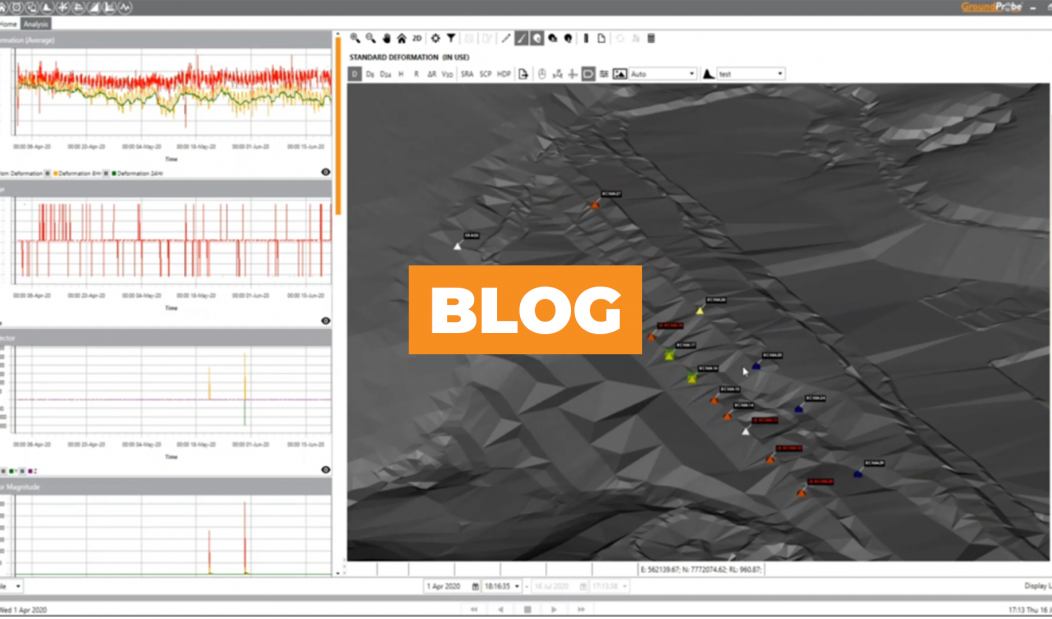
The most noticeable change to the GMS is that its data can now be visualised in our DTM View. The DTM view shows GMS data in 3D, draped over and co-located with an imported Digital Terrain Map of your pit or dam.
You can flip between this 3D view and Front View, for ultimate flexibility. In Front View, the data is draped over a front-view, high-resolution image taken by the system and the two are spatially co-located; a patented technique unique to GroundProbe.
Periodic Monitoring
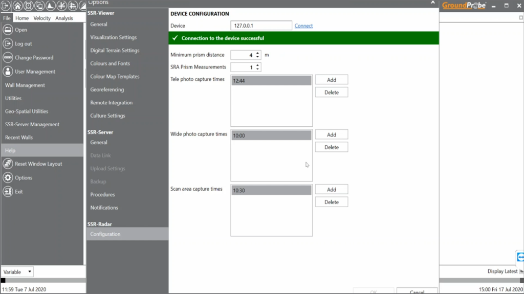
The GMS has been enabled for periodic monitoring, permitting you to monitor from different locations and resume existing walls.
Multiple areas can be scanned at regular intervals using the one device, allowing periodic coverage of typically active areas.
Stable Reference Area (SRA) Algorithm Improvements
A new function has been implemented that allows you to specify the number of times during the scan you want to evaluate the Stable Reference Area (SRA). This functionality improves overall data correction.
The SRA algorithm has also been refined to better manage situations where prisms are not performing well, allowing better management of unwanted and unreliable prisms.

3D Vector Magnitude Tool
SSR-Viewer now displays a visual representation of the displacement of prisms on the scan image in 3D space to help users to understand the nature of the geotechnical movement.
With the 3D Vector Magnitude tool, a scaled colour arrow that represents the true vector of movement will be displayed for each prism point.
Raw Data Export
GMS raw data can now be exported periodically and automatically. This enables raw data to be imported into third party software for further analysis, such as data aggregation platforms.
More Information:
For more information on these most recent updates, please contact your local office.


