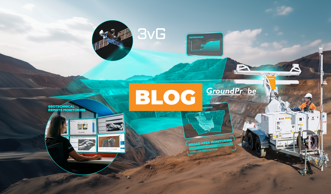
Geosolutions: A Comprehensive Mining Solution Offering Actionable Trusted Insights

GroundProbe, and Terra Insights have combined under Orica Digital Solutions to form Geosolutions, an innovative solution provider to revolutionise monitoring in the mining and civil infrastructure sectors.
In today’s fast-paced mining industry, efficient monitoring and mitigating risk are essential. Geosolutions offers a cutting-edge, end-to-end portfolio that integrates advanced sensors and services, providing actionable insights to help customers navigate challenges—whether underground, above ground, or across complex landscapes. Our trusted technologies and purpose-built data solutions empower customers to manage risk with precision and confidence.
A Full Suite of Monitoring Solutions
Our comprehensive ecosystem of advanced monitoring technologies is at the heart of the Geosolutions portfolio (uniting GroundProbe, RST Instruments, Measurand, 3vGeomatics, Syscom Instruments, and NavStar). From real-time and periodic monitoring to surface and sub-surface data analysis, our solutions deliver critical information to help customers make risk-informed decisions. This is particularly vital for industries that rely on precise data, such as mining, where safety and operational efficiency are paramount.
Key Benefits
- Real-time insights into conditions influencing safety, compliance, and performance.
- Periodic monitoring for both safety-critical and background data analysis.
- Tailored solutions designed to meet specific customer needs, resulting in faster, more accurate data analysis and decision-making.
Industry-Leading Technology for Complex Challenges
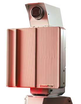
Geosolutions combines geotechnical technologies and advanced geospatial instrumentation for a holistic approach to monitoring complex environments. Our suite of tools—including radars, ShapeArrays, inclinometers, GNSS, piezometers, InSAR, and vibration sensors—provides unmatched capabilities for detecting and analysing deformation, seismic activity, and other critical factors.
What Sets Us Apart?
Geosolutions is the first to offer a fully integrated solution combining geotechnical, structural, and geospatial monitoring technologies. Our unified software development plan allows for seamless visualisation and analysis, giving customers a comprehensive view of their assets. By bridging the digital and physical worlds, we provide real-time insights for more informed decisions and predictable outcomes.
Scalable Solutions for a Complex World
Our monitoring technology is scalable to meet the demands of large-scale, high-production mine sites and intricate networks like railways, highways, and pipelines. We also provide solutions for dams, tailings storage facilities, airports, and bridges, ensuring customers can effectively manage their critical infrastructure in complex environments.
Empowering Customers with Actionable Insights
By delivering trusted data from a single point of contact, Geosolutions empowers customers to:
- Detect and monitor movement of critical assets with real-time information.
- Mitigate risk confidently, ensuring safety, environmental compliance, and human comfort.
- Maximise productivity while optimising resources and containing costs.
Our data-driven approach allows customers to manage their assets and operations more innovatively, safely, and efficiently, leading to better project outcomes.
———-
For more information visit: Geosolutions: A New Era in Monitoring Excellence and
Contact Us if you have any questions or require further information. Alternatively, click here to learn more about Orica Digital Solutions.
#Geosolutions #OricaDigitalSolutiuons #MonitoringExcellence #GeotechnicalInnovation #RiskManagement
 |


