InSAR Service
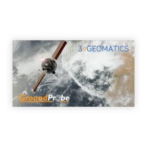
The GroundProbe InSAR Service, in partnership with 3vGeomatics (3vG), is an effective tool for monitoring and detecting surface movement. It uses satellite-based radars which conduct scans every time they pass over the mine site.
Key Features:
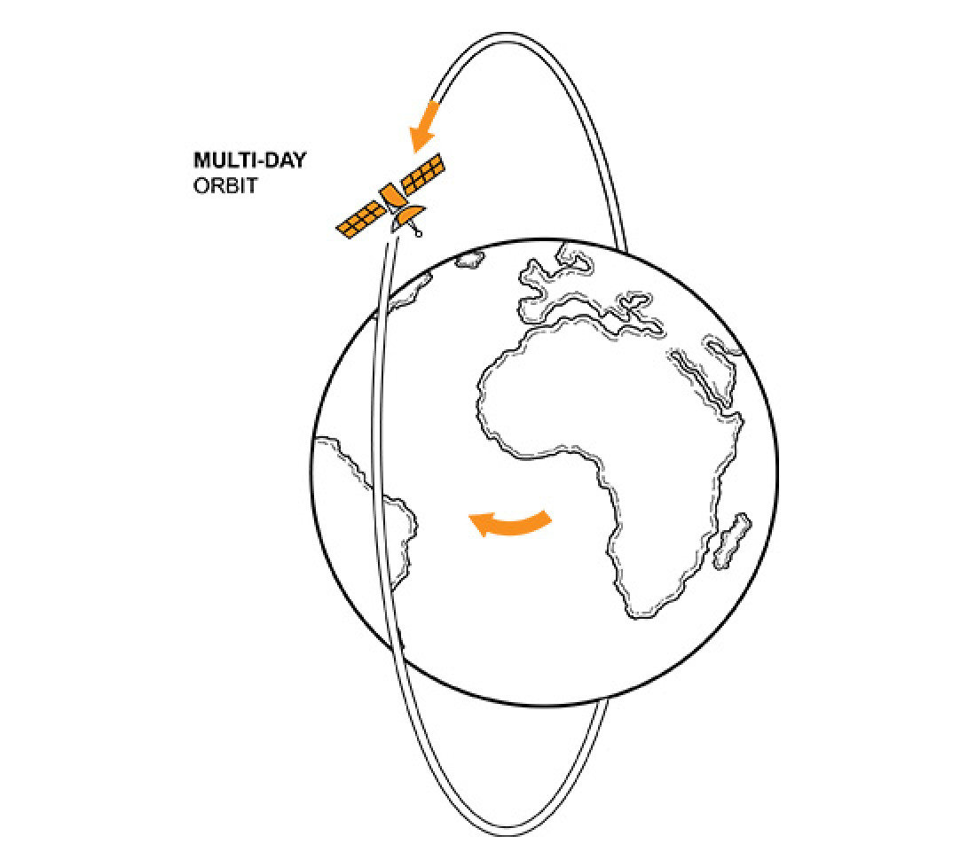
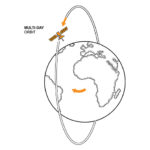
The satellites circumnavigate the earth on a continuous ascending or descending trajectory, allowing for radar imagery to be taken of a specific area of the Earth’s surface each time the satellite orbits. Imagery can be obtained day and night from anywhere in the world, independent of weather conditions.
The GroundProbe-accessed satellites are some of the most capable and flexible satellites in orbit in terms of their revisiting and data processing times. The satellites typically pass over the same location every several days and are capable of processing data within 24 hours of passing overhead, allowing for the monitoring of faster moving walls, better atmospheric correction and more up-to-date information. On request, a package can be tailored for a satellite to pass overhead more frequently, allowing for even faster access to data.
As well as acquiring new imagery each revisiting cycle, archive imagery of a corresponding area can be obtained, allowing for a retrospective view of surface displacement that has taken place and deeper analysis of continued displacement over time.
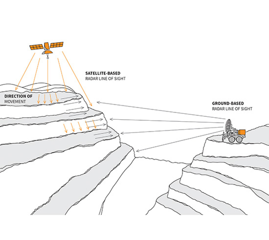
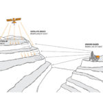
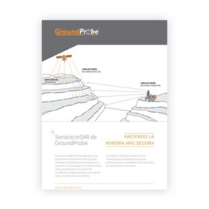
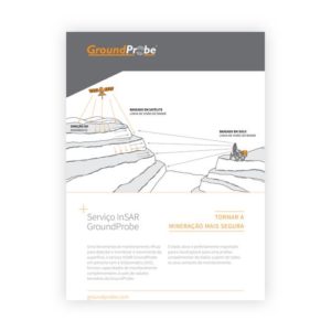
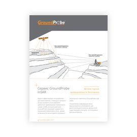
Satellite-based radars will see behind the crest of a wall where ground-based radar cannot, and can monitor critical infrastructure and tailings dams from above. By integrating satellite monitoring alongside ground-based monitoring, blind spots in surface movement can be revealed, and the possibility of missing events or generating false alarms is reduced.
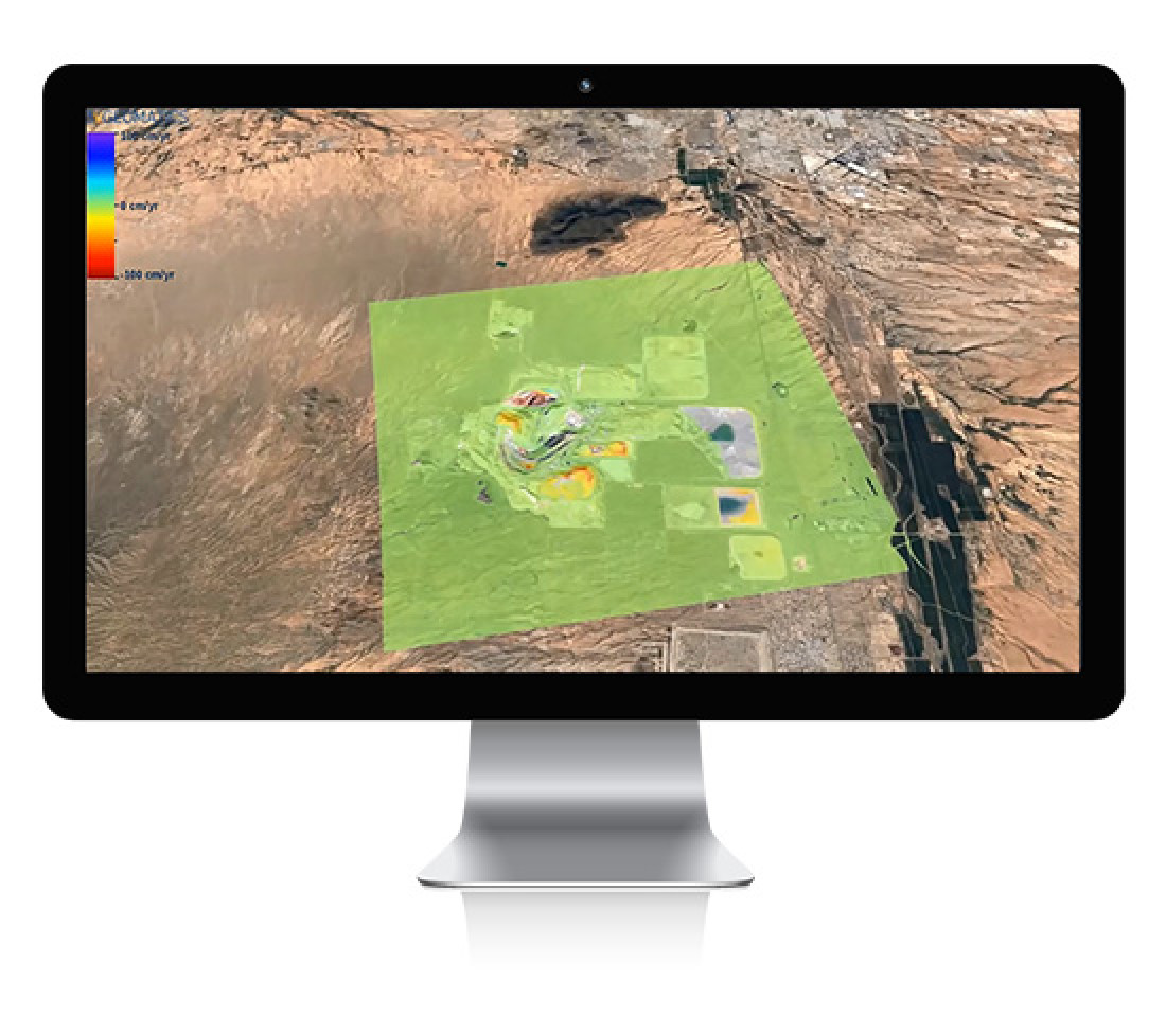
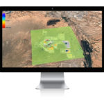
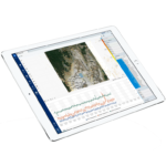
Through the InSAR module, millions of pixels of satellite data are seamlessly imported into MonitorIQ each time the satellite flies overhead. The data is live, allowing users to click on any pixel, select any region and chart deformation and velocity with high precision.
Data is temporally and spatially normalised automatically in MonitorIQ for complementary analysis of data from different sensors, unlocking the synergy of ground-based and satellite-based sensors. The colour palettes from each can be harmonised and their alarms combined, allowing for the same degree of movement to be visualised in the same way, hot spots to be aligned and all data types to be handled in the same way.
Downloads and Resources
Related Products
MonitorIQ® Enterprise Geotechnical Software
Designed and developed by geotechnical engineers for geotechnical engineers, MonitorIQ® ...
More


