SSR-FX
STRATEGIC, BROAD-AREA SOLUTION
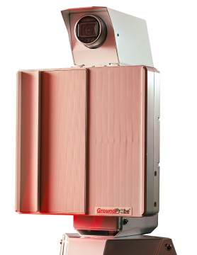
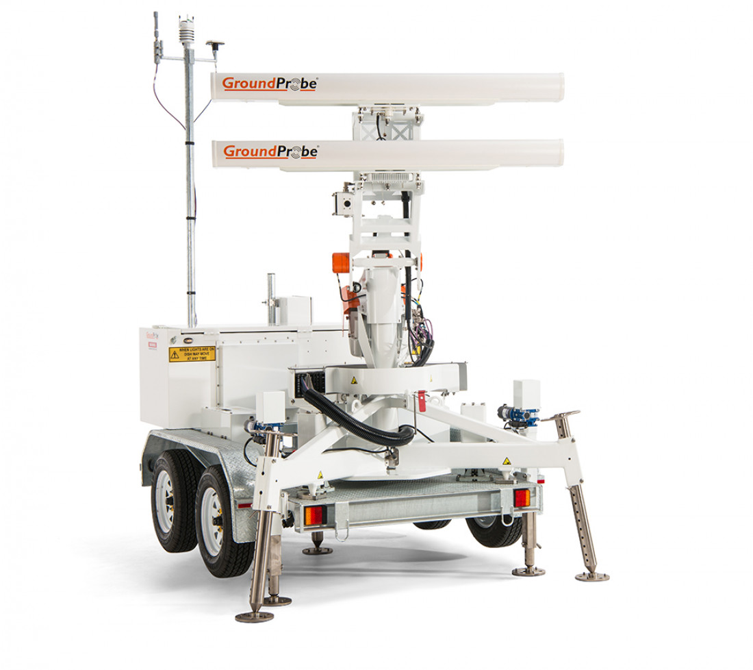
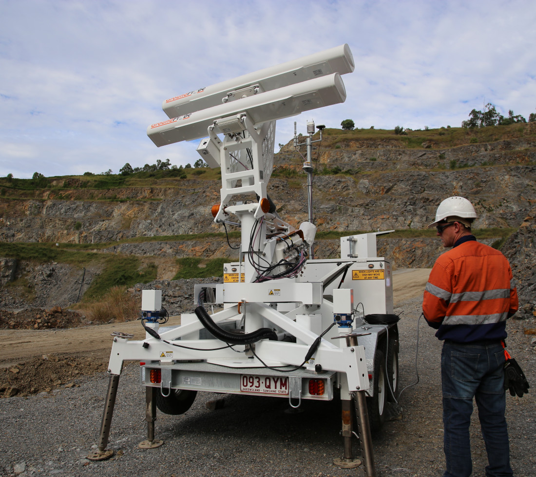
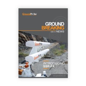
The SSR-FX is a monitoring system designed to provide geotechnical peace of mind. An expert tool for risk and hazard identification, the SSR-FX is a 2D Real Aperture Radar (RAR) specialising in detecting movement across vast mine sites over a long period of time, even in non-critical areas.
In-built processing at the radar ensures no latencies or delays in the transfer of data to the Primary Monitoring Point. The fully-processed data is immediately available for viewing and alarming at the end of every two-minute scan; a feature specifically unique to GroundProbe.
The SSR-FX’s high-speed scanning capabilities allow the system to manage changes in the atmosphere and deliver data faster, whilst also tracking fast-moving walls.
With a pixel resolution of over 1.4 million per scan, updated every two minutes, the SSR-FX allows its users to identify new risks and hazards to make quick and accurate in-pit decisions.
The SSR-FX is a Real Aperture Radar that generates fine azimuth angles and small range pixels, delivering real aperture radar measurements you can trust.
SSR-FX uses an intuitive, patented Plan View visualisation method that represents radar data and multiple layers of mapping data from above. At the centre of the visualisation is an eyeline that links the plan view with high-resolution photographs taken by the radar. The two projections are linked, tracking together, enabling its users to view an entire pit at a glance to instantly detect and locate any hazards.
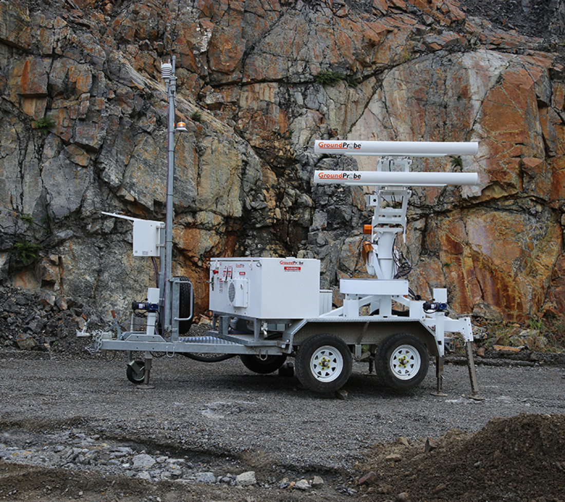
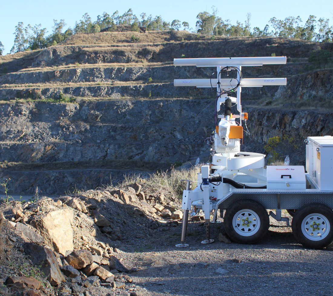
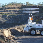
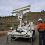
The SSR-FX is highly mobile and quick to set up. Equipped with an in-built electric jack kit, the SSR-FX can be safely deployed by one user quickly and with minimal physical exertion or risk.
Flexible to site-specific needs, the system is also available in a fixed deployment model and as a medium-antenna solution, the SSR-FM.
The SSR-FX is extremely durable; proven to reliably operate in inhospitable environments that have included intense sun, rain, wind, snow and humidity. Mechanically sound and delivering reliable data, the SSR-FX can be deployed at mine sites that range in temperatures from -25°C to +55°C, and sit as high as 5000m above sea level.
The SSR-FX includes a high resolution, integrated imaging system for real-time photographs that are co-registered with the radar data; a technique unique to and patented by GroundProbe.
When the data is visualised, the deformation heatmap is draped over the high-resolution image. By clicking on any part of the image, movement can be reviewed and assessed live, with confidence.
Without the need for georeferencing, or importing a DTM into the radar, the SSR-FX can commence monitoring straight away.
A key benefit of interferometric-based radar technology, the SSR-FX doesn’t lose measurement accuracy as range increases. Deploy the radar 30m or 3,500m from the area of interest, and its sub-millimetre deformation measurement accuracy remains.
GroundProbe has a world-class support network, Geotechnical Support Services (GSS) that actively assist our customers in getting the most out of their asset.
On request, and customised to suit specific site needs, GSS can:
- Conduct advanced training and on-going development for on-site staff
- Deliver regular, detailed reports containing comprehensive analysis and interpretation of radar data
- Provide a complete remote monitoring solution – real-time, 24/7 support from a central, remotely-located office
- Provide a complete local monitoring solution – in-person, on-the-ground monitoring, flying in and out as needed
- Offer competency-based training into the application of alarms and the integration of alarm thresholds
| OPERATIONAL SPECIFICATIONS | ENVIRONMENTAL | |
|---|---|---|
| Scan Area (Coverage): Broad Area Mode: 60-210°AZ (adjustable) x 60°EL High Resolution Mode: 60°AZ x 60°EL Antenna Movement Degree: 270°AZ x 122°EL |
Communications: Integrated wireless link or connect to mine network |
Altitude: 0 to 5,000m |
| End-to-End Scan Time*: 210° x 60° (2 minutes)
|
Power Options: RAPS (Y), CPS, CPS Extreme, Battery Box with AC |
Humidity: 5% to 99% |
| Range: 30 – 3,500m |
Deployment Option: Fixed and Mobile |
Rainfall: 0 to 100mm/hr |
| Pixel Size at 1000 Metres: Broad Area Mode: 8.72m x 0.68m High Definition Mode: 2.20m x 0.68m |
Deformation Measurement Accuracy: 0.1 mm or submillimetre |
Temperature: Standard kit: -25°C to +55°C |
| Error Increase Over Range: Nil |
Operational Wind Speed:
100km/hr Survival Wind Speed: 160km/hr |
Downloads and Resources
Related Products
MonitorIQ® Enterprise Geotechnical Software
Designed and developed by geotechnical engineers for geotechnical engineers, MonitorIQ® ...
More
MonitorIQ® Desktop Geotechnical Software
MonitorIQ® Desktop is our dedicated geotechnical analysis platform and the standard ...
MoreSlope Stability Radar Shelter (SSR)
GroundProbe’s SSR Shelter is a rugged, protective accessory developed to house ...
More


