Virtual Monitoring Points – A New Standard in Long-Term, Broad-Area Background Monitoring

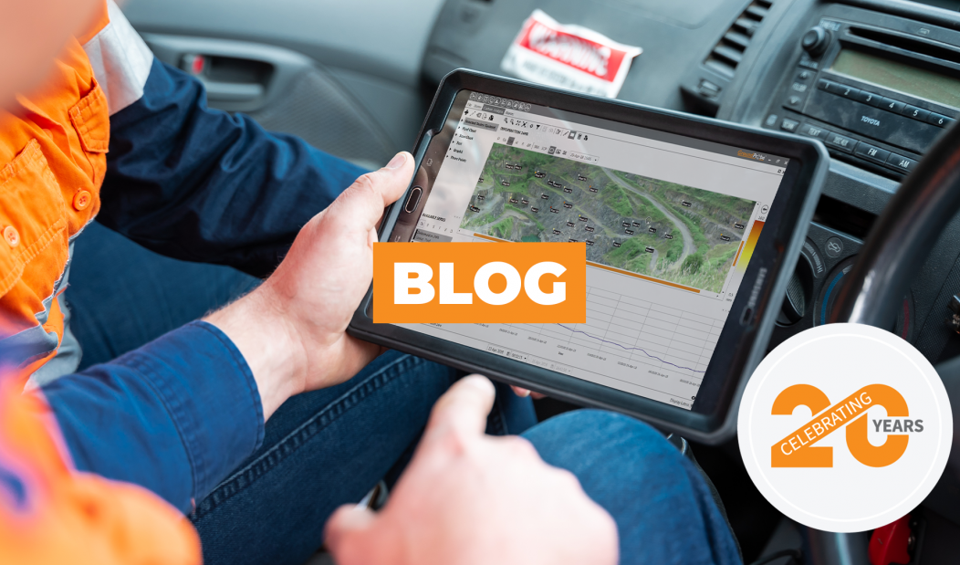
Virtual monitoring points now play a significant role in long-term, broad-area background monitoring afforded by LiDAR systems like GroundProbe’s GMS-Dual and GMS-Prism. In the past, physical prisms were heavily relied on at many mine sites and despite their long-range, fast scanning and high level of accuracy, they were difficult and sometimes dangerous to install as well as unresponsive to altering ground conditions and time-consuming and expensive to repair.
Now regarded as the ultimate solution to measuring areas where prisms cannot easily be installed, pixel and precision points (virtual prisms) are placed digitally on mine site walls. When possible, they can be combined with prisms, providing a complete long-term, broad-area background monitoring solution.
Both pixel and precision monitoring points provide a number of unique benefits.
The Benefit of Pixel Points
In areas with jagged rock faces or a low incidence angle to the laser, precision points are ultimate. Precision points require greater scanning time, however, their accuracy is unrivalled.
The Benefit of Precision Points
In areas with jagged rock faces or a low incidence angle to the laser, precision points are ultimate. Precision points require greater scanning time, however, their accuracy is unrivalled.
GroundProbe’s Virtual Monitoring Solution
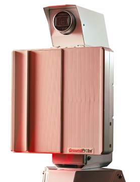
GMS-Dual is a highly effective long-term background slope stability monitoring solution. It provides multiple technical benefits by monitoring prisms, pixel and precision virtual points on a mine site wall, enabling the early detection of hazards to ensure the highest level of risk management.
GMS-Dual accurately monitors open-cut pits and highly vegetated slopes, as well as detects and measures deformation on tailings dams, dumps and cuttings, and provides deformation data with various atmospheric timeframe processing.
To increase the measurement of prism data accuracy and provide users with a superior user experience, GMS-Dual provides vector movement in 3D resulting in a greater understanding of ground conditions. Users can use both readings to their advantage, as well as analyze individual points, or average groups of points in any configuration.
GMS-Dual’s wall folders also enable the creation of a combination of points. Once accuracy and scan time is determined, prism, pixel and points can be selected and connected in a single scan. Once a scan is completed, all measurements are processed and ready for analysis, allowing for early detection of movement. The GMS-Dual offers rapid and safe deployment using an automatic grid scan feature. Once the scan area is specified, the software automates a grid of pixel points, enabling immediate scanning. The system uses up to 1000 pixel points with dense pixel spacing to ensure no point of interest is unobserved. Highly reliable, the GMS-Dual never misses a scan thanks to a built-in failsafe. The system continues to collect data even if the primary monitoring point is shut down or the Wi-Fi connection is lost.
Although primarily developed as a long-term solution, the GMS-Dual can be also be used as a periodic monitoring tool with the ability to scan active areas at regular intervals using a single device.
With multiple technical benefits as well a superior user experience, GMS-Dual is part of GroundProbe’s suite of products designed to ensure maximum mine safety and peak productivity.


