The Benefits of GroundProbe’s GML Convergence Monitoring System

Identifying and assessing hazards and risks are fundamental to maintaining safety within the mining industry. As globally recognised Slope Stability Radar (SSR) specialists, GroundProbe designed and developed the GML, an advanced LiDAR solution, specifically for underground geotechnical convergence monitoring.
What are the benefits of GML’s Convergence Monitoring Module?
GML’s Convergence Monitoring Module is capable of detecting rock and ground support movement with submillimetre accuracy, offering a range of unprecedented features and benefits for underground monitoring.
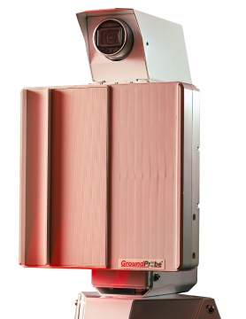
The system can be deployed to meet the needs of any underground mine operation, at any stage. Users can choose continuous or periodic monitoring and deploy the device on a wall-mounted bracket (continuous monitoring), vehicle-mount solution (periodic monitoring), or tripod. Additional benefits include:
– Unrivalled Precision
The GML’s continuous submillimetre accuracy of 0.01mm to 0.4mm, means it can detect the slightest rock and ground movement as well as provide raw data that is 170 times more accurate than a standard time-of-flight laser. Detecting very slight changes in velocity over short periods ensures the best chance of a fast response.
– Maximum Repeatability
In-built processing means live data is streamed to the surface in real-time.
– Rapid Visualisation
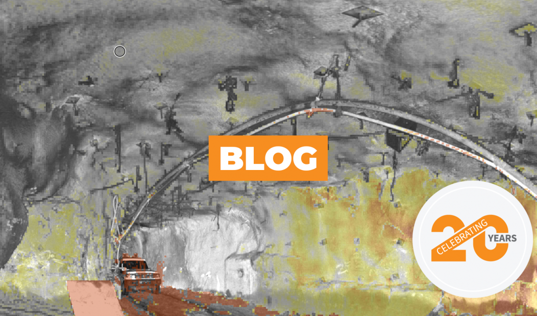
The GML computes high-density point cloud data in near real-time. Each point cloud, containing tens of millions of points, is co-registered with the data generated by the system. When visualised, the deformation heatmap is draped directly over the 2D front-view image or 3D point cloud, giving spatially co-located information.
– Lightweight Data
GML’s proprietary data decimation processing algorithm produces scan file sizes typically 1% of the size of standard LiDAR data files, resulting in ultra-lightweight data of only 3MB per front-view scan.
– Software Compatible
The GML comes complete with GroundProbe’s patented SSR-Viewer software, offering the rapid analysis of data to detect trends, the precise tracking of areas of interest and fast reporting.
– Alarming
Civil construction team members can set a range of networkable, stackable and accurate alarm parameters.
– Customisable
With 360° x 270° coverage, the GML is perfectly suited for any civil construction work site.
– Fast Scan
With the ability to take rapid multiple readings, fast scans can be batch-processed to provide a marginally lower resolution snapshot of an operation, saving time.
– Live Data
Data sourced underground is processed and streamed through the mine network to the surface every few minutes. All critical metrics are transferred to the mine office for real-time monitoring.
– Georeferenced 3D Data
All data gathered by the system can be fully georeferenced.
– Interference All but Eliminated
Interference from mesh and other mining infrastructure is all but eliminated as a result of near real-time automated data filtering.
By providing such an advanced underground monitoring solution as GML, GroundProbe can now assist the civil construction industry to better manage risk and ensure maximum mine safety.


